After a long day on the Aggenstein we were after a shorter walk the following day, which involved a lift for ascent. We decided to head up the Sulzspitze from the top of the Neunerköpfle Seilbahn, the end of a long hike&fly Becky, James and I did last November. When we were there before I had scoped out that it looked like a great peak for a hike&fly, and as such this time took my glider along for the walk up so that I could fly back down.
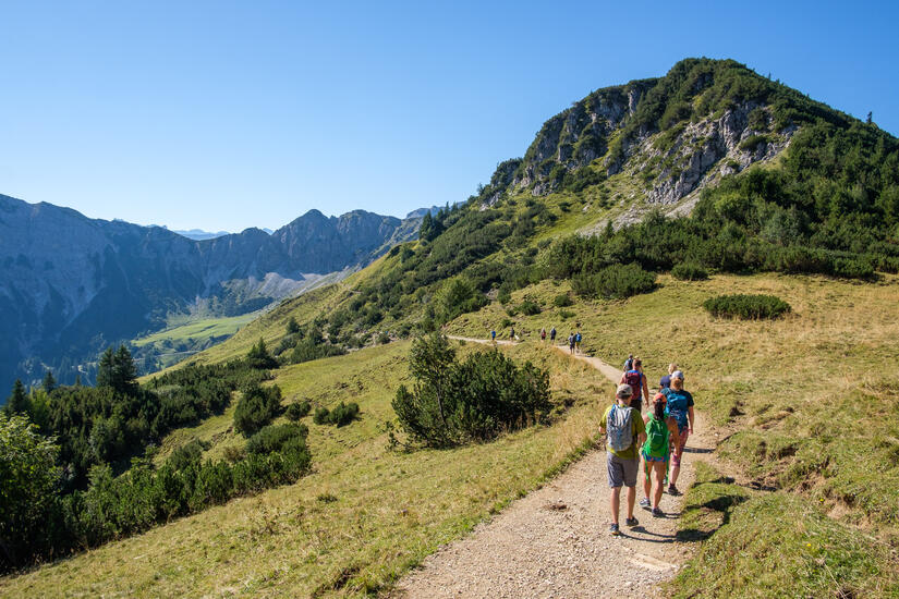
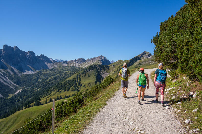
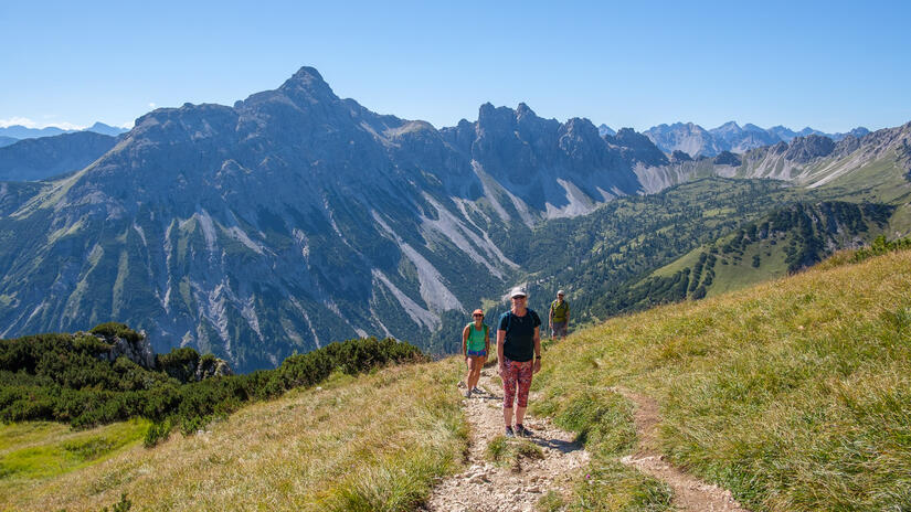
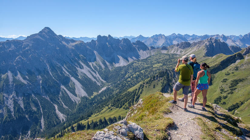
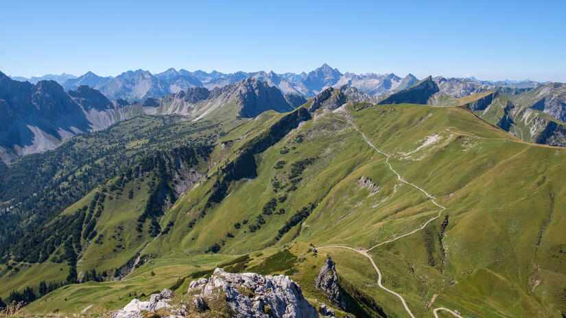
The walk up to the summit was very scenic and very easy, certainly less difficult than in the snow/ice last time!! Once we got to the top there was absolutely no wind, other than the odd thermal cycle from the south face which resulted in a small tailwind.
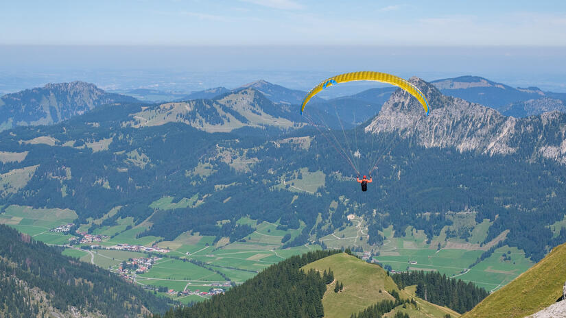
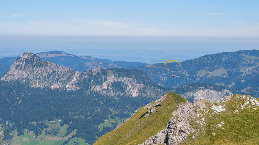
After analysing the situation over lunch, I decided that it was suitable to take off and enjoy the flight back down. I was really hoping to get some lift and extend my flight back down. However as I flew off I wasn‘t finding any lift, I must have been too early for the west faces to be working, just about as I had resigned to ending up back in the valley, I found an excellent thermal which took me up to well above the summit, which meant that I could fly back to the take off, but with enough height to take the thermals off the south face of the Sultzspitze.
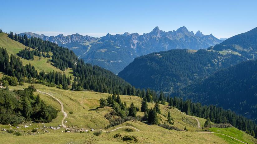
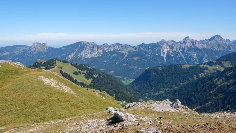
This gave me enough height to go for a small XC flight over the Litnesschrofen, over the Tannheimer Tal and then back to Tannheim. I then caught the lift back up for lunch and another flight back down later in the afternoon, unfortunately by the afternoon the conditions were pretty strong which ruled out any more xc, but it was certainly good practice flying in the stronger conditions.
Comments