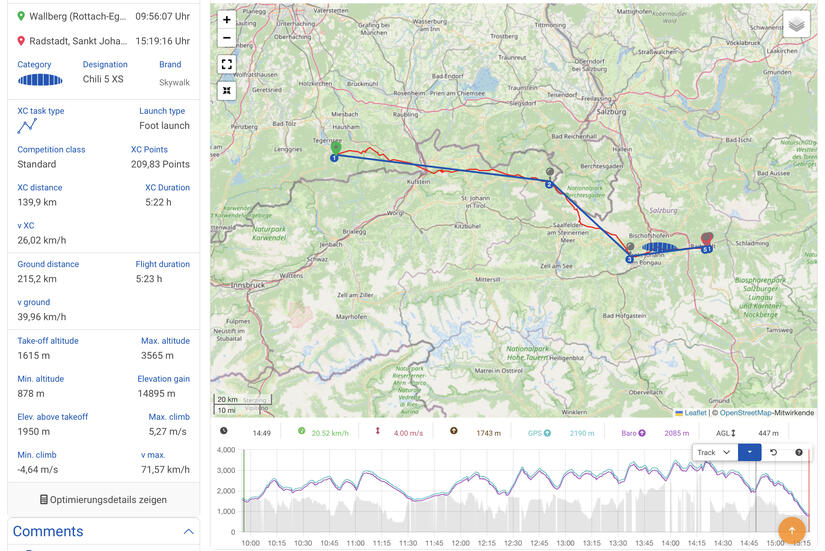
With an excellent lapse rate, low winds at valley level but with strong winds up high, combined with a high cloudbase, I was cautiously optimistic that I was going to complete my first >100km flight. The route I planned at the following sections:
- Wallberg to Jägerkamp, over the Brecherspitze
- Jägerkamp to Großer Traithen
- Großer Traithen to Zahmer Kaiser, over the Inntal
- Zahmer Kaiser to Unterberghorn (Kössen)
- Unterberghorn to Lofer, over the Steinplatte
- Lofer to Hochkönig, over Steineres Meer
- Hochkönig to Pongau
- Pongau to Radstadt
I had flown a number of the sections successfully before, and had attempted a number of others, which put me in a great position to use previous knowledge. I had previously successfully flown 1-3 and 5, and had attempted 3 and 6 previously which had given me useful knowledge to improve on this time.
Despite the great forecast, I wasn’t sure if I would be able to complete the route as I thought that in the afternoon the thermals may become too turbulent due to the midsummer sun, 0.9 deg/100m lapse rate and strong wind up high. Thankfully this didn‘t turn out to be the case, and I successfully complete the flight landing at Radstadt as planned.
The flight itself was wonderful, I spent most of the time over 1000m above the summits admiring the wonderful views, enjoying the strong climb and being blown along the route by the wind.
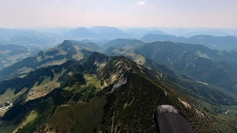
Wallberg to Jägerkamp, over the Brecherspitze
The start of the flight was from Wallberg to Jägerkamp, which involved two valley crossings. Despite Wallberg being typically a late starting mountain the conditions meant that I could take off at 9:55 and immediately climbed away up to 2600m, which made the next section really straightforward, especially with the wind at altitude, as it meant I could glide all the way to Jägerkamp looking down on the beautiful Bavarian mountains.
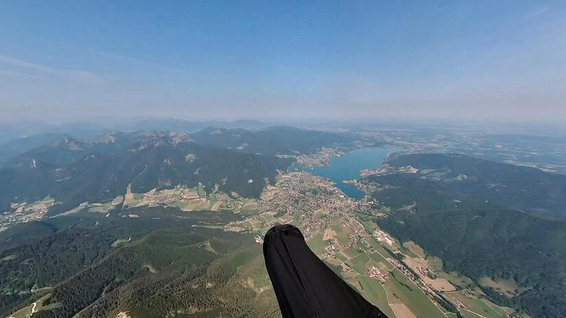
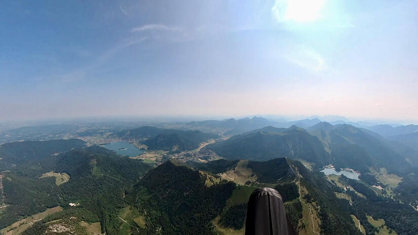
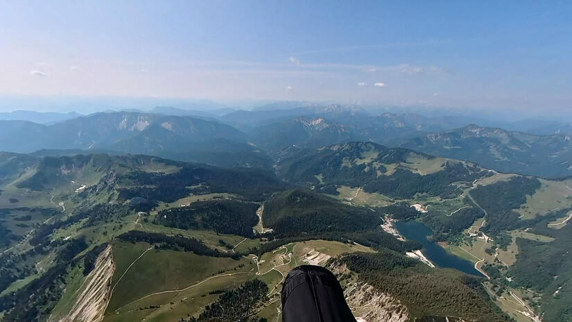
Jägerkamp to Großer Traithen
It was a bit harder than I was expecting to find a thermal at the Jägerkamp, but it still didn’t take long and after a couple of different climb was soon back up to 2600m again. This is very high for the area, especially so early in the morning. One more climb over the Seebergkopf gave me enough height to easily arrive high above the Großer Traithen.
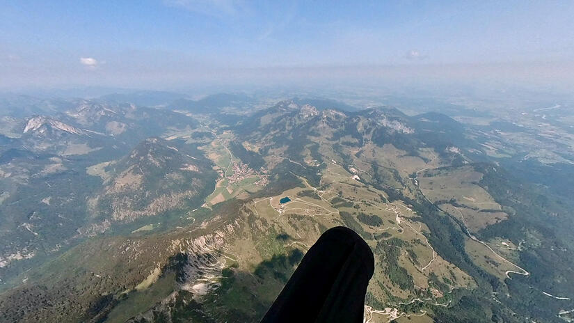
Großer Traithen to Zahmer Kaiser, over the Inntal
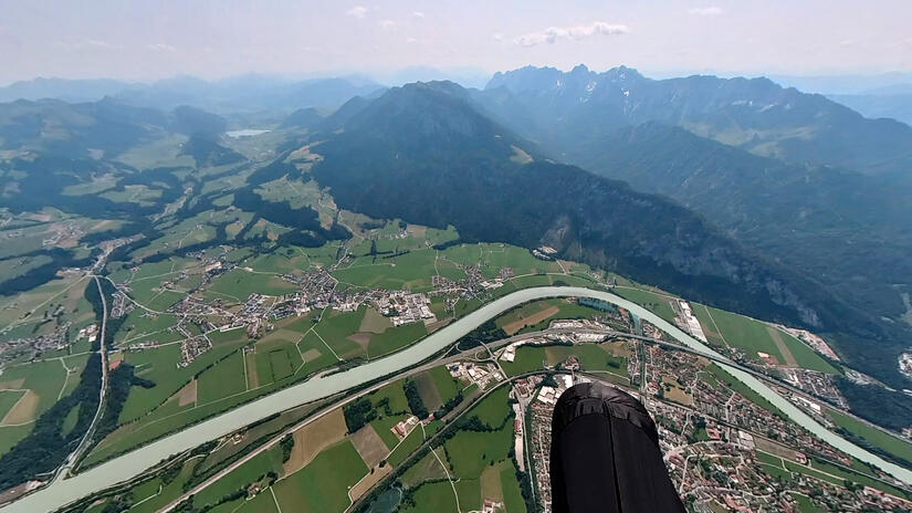
Over the Großer Traithen I was able to climb up to 3000m which put me in a great position for my long 10km glide over the Inntal, to this point I had never managed to get onto the Zahmer Kaiser, and I was hopeful that today would be the day.
I arrived with more height than normal, but it was very early to be above north facing slopes. On my arrival there was very little wind, but I was expecting the westerly wind to be blowing over the top of the Zahmer Kaiser, so didn‘t want to take the south side. Turns out this was a mistake, as there was a SW component to the wind in the west of the Inntal, which meant that despite the strong NW/W current high up, here the wind was actually blowing from the SW. Despite being in a shady lee, perseverance, combined with previous knowledge enabled me to slowly scratch my way up back into the sun.
As soon as I was above sunny rocks my climb rate significantly increased and I was able to enjoy the wonderful view in and out of the Inntal and over in my flight direction to Kössen.
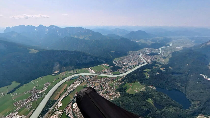
Zahmer Kaiser to Unterberghorn (Kössen)
The base was so high, I actually had to leave a climb to avoid climbing into airspace when I was above the Zahmer Kaiser! Due to the altitude, I then just had an easy glide towards the Unterberghorn, with only one small climb necessary before the Unterberghorn to ensure that I arrived above the summit, at this point the standard thermal above the summit took me smoothly and quickly up to 3150m before I departed for Lofer.
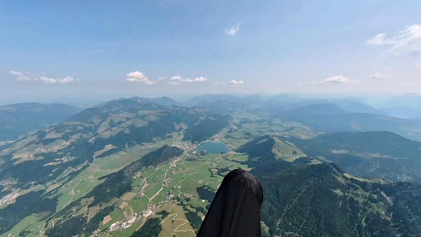
Unterberghorn to Lofer, over the Steinplatte
This is a section of the flight which I know very well, but I have never found it as easy as it was today, as I only needed one small climb to get me all the way to the Steinplatte, where a very windy/turbulent climb took me back up to 3000m and along to Lofer.
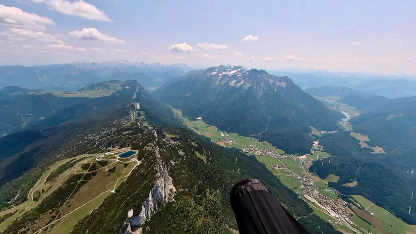
Lofer to Hochkönig, over Steineres Meer
Flying beyond Lofer is something I had previously tried twice and failed at twice, but I learnt that staying high early on is the best method and I am now much more comfortable flying lines which take me away from the main valley, which in the past I wouldn‘t have attempted. This meant I could fly above obviously rocky thermal sources and enabled me to stay nice and high, while being away from any potential venturis with the strong westerly wind.
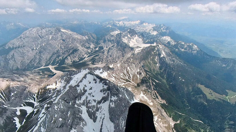
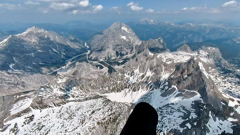
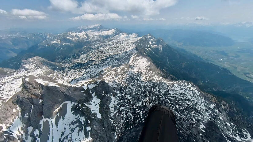
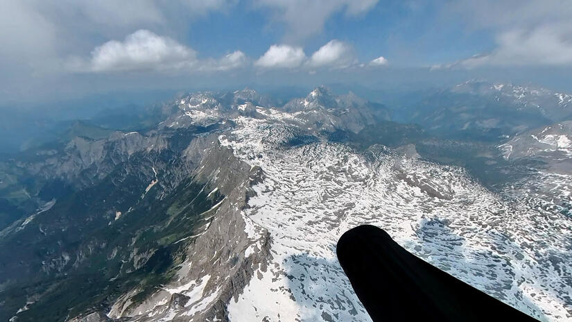
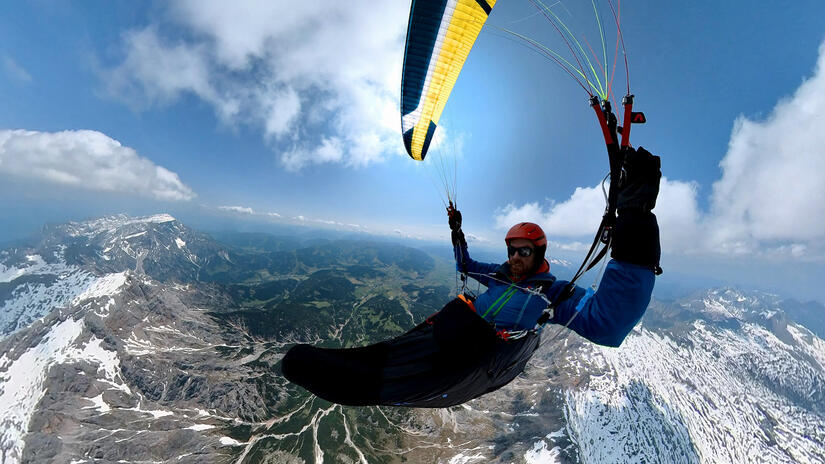
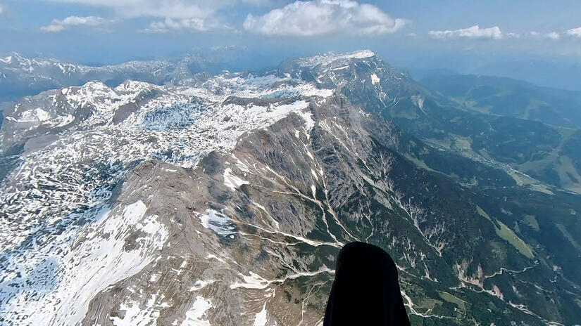
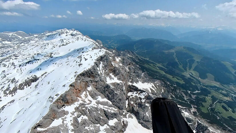
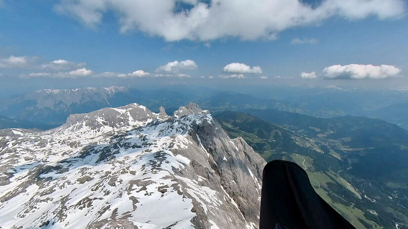
This section of the flight was unbelievably enjoyable, and also pretty fast. There were strong thermals everywhere, outstandingly beautiful views and a wind which literally blew me along the ridge. It was great to look down into the Berchtesgaden mountains, over the Watzmann and down to Königsee. During this section I ended up at cloudbase multiple times, and before I knew it my vario said 95km, which with a glide to landing meant that I would have completed my aim of 100km. This really allowed me to relax and enjoy the flight, as the mental milestone of 100km was in the bag as I cruised ontowards Hochkönig.
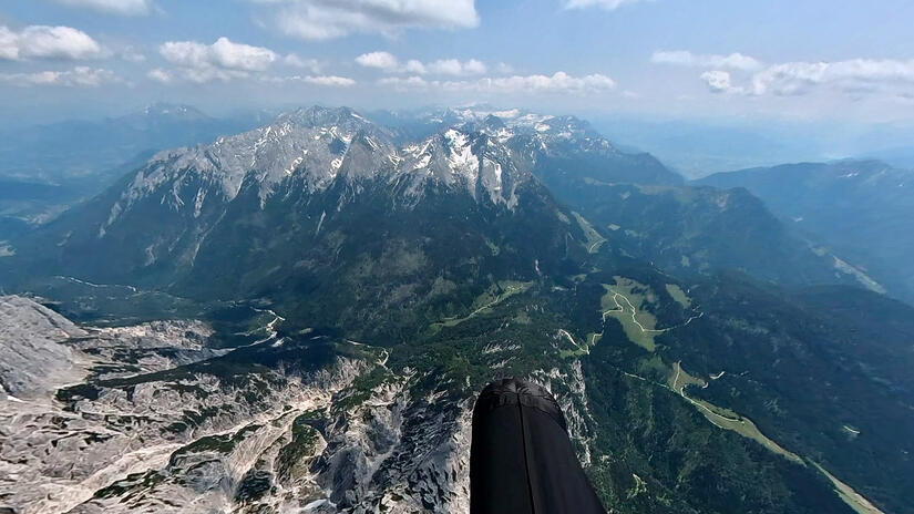
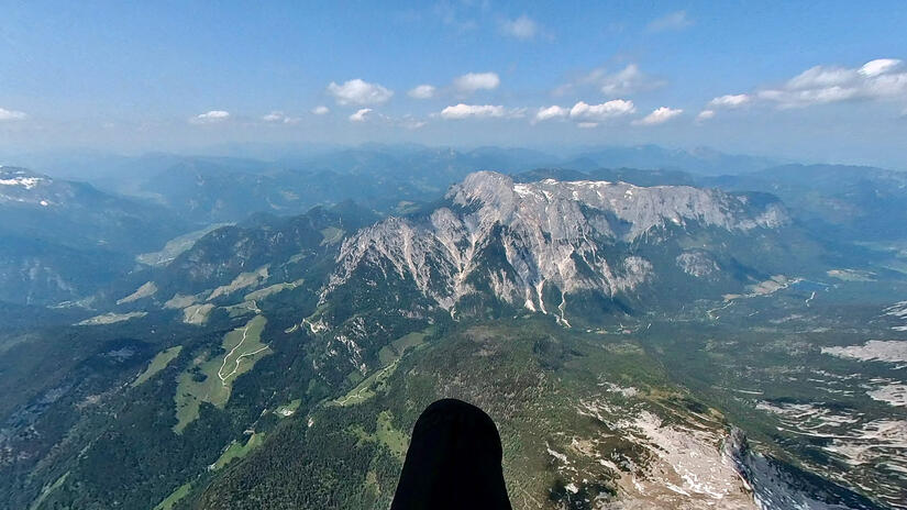
Hochkönig to Pongau
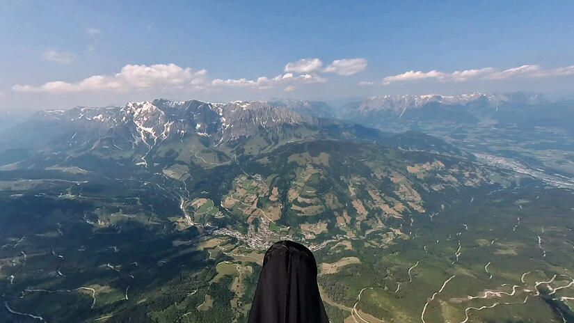
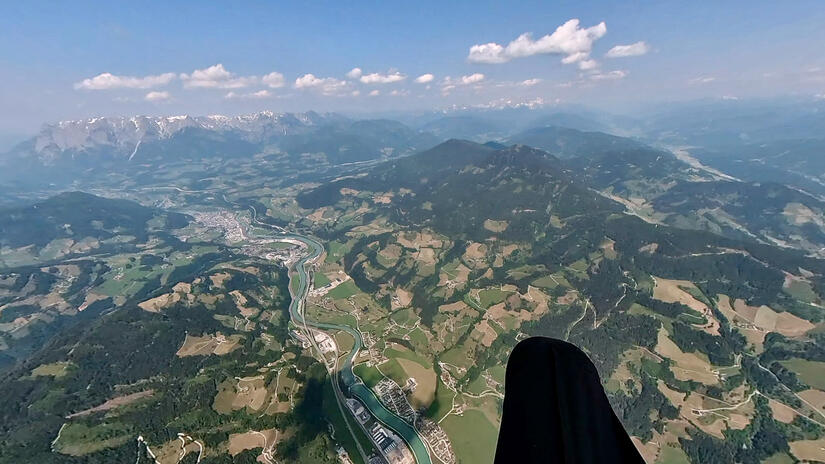
Leaving Hochkönig with over 100km distance completed, I was under now stress or pressure to continue, as I could have easily landed in multiple directions and had an easy journey back to Munich, but I wanted to continue as it was so much fun. Due to the high base I had to take a diversion away from my goal of Radstadt to avoid Salzburg airspace, which gave me a wonderful view back towards the massive rocky face below the Hochkönig.
Pongau to Radstadt
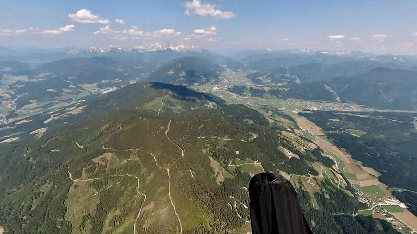
One small climb and I was ready to cross the Pongau which took me to my final climb of the day before my final climb down to Radstaft. As I was on my final glide I considered carrying on, as the thermals were strong, the wind meant I was flying quickly, but as this was already my longest flight, in strong conditions, combined with not know what the logistics were if I carried on flying and I had to be in work the next day!
An easy landing field greeted me, with a very short walk to the train station and only a short wait for the train. I was elated with my flight, as I went on a real journey, having flown 140km from my starting point, with a good xc speed and fantastic views along the way. It was also great that I still felt like I could carry on after 5hrs20mins in the air, as this puts me in a great place mentally to consider other longer flights in the future.
Comments