One of my aims this year was to do a VolBiv, which is where you travel from A to B by air with a paraglider, along with a tent and other associated camping equipment. As this was my first VolBiv and I only had 3 days, I had set myself some simple rules to make it easier/more enjoyable:
- Take cablecars if possible
- Don‘t walk along valleys for the sake of walking – use public transport if required
- Make decisions to enjoy the moment, rather than aiming for big distances
In the week running up to the VolBiv the forecast for Friday-Sunday was very good, with Friday and Saturday looking great and Sunday looking OK, which resulted in me planning a route which started in Stubai with the flying crux on the first day, flying over the Stubai glaciers and the main alpine ridge. Once over the ridge, it should have been plain sailing along the south facing slopes of the Pustertal. I didn‘t have a specific objective, but had planned routes to Lienz and onwards to Spittal an der Drau. The advantage of this route was that there was a trainline all the way along the route after I reached the Pustertal, so getting home on the Sunday would be easy no matter where I finished.
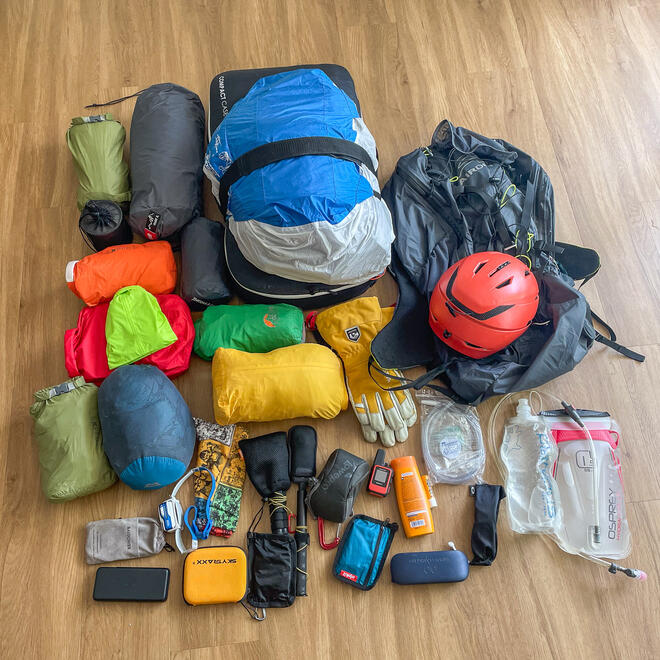
I gradually packed my equipment through the week, and tried to optimise the amount of clothes/equipment/electronics, but I clearly didn‘t do a good enough job as my rucksack (with water) still ended up weighing 24kg!
Unfortunately by the time I departed Munich on the evening before, the forecast had somewhat deteriorated so I wasn‘t sure if I would be able to get over the main ridge, but I had made a plan and wanted to stick to it, as the weather north of the main ridge on Saturday and Sunday wasn’t very good!
Day 1 – Stubai to Wals
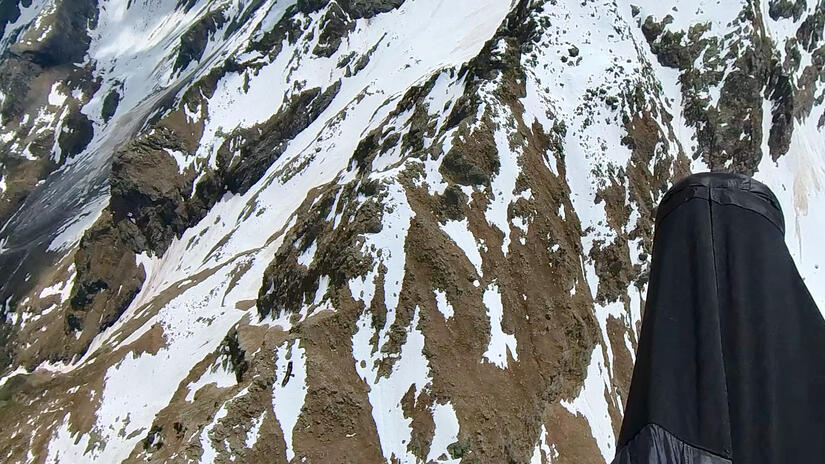
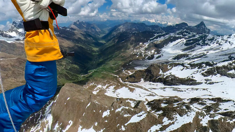
On the previous evening I travelled to Stubai and camped in the valley, as I wanted to get an early start to make the most of the conditions before they deteriorated. I took off from Kreuzjoch fairly early in the morning and immediately made great progress, with outstanding views up the valley. Unfortunately I started too early and the cloudbase further up the valley was below the summits, which meant I had to leave the ridge, and with the large amount of snow I wasn‘t able to climb back up high.
This resulted in me bailing to my plan B, based on knowledge from my last flight over the glacier, the downside of this route was that I had 3 ridges to cross, with long glides between which arrived on north facing slopes. As I crossed the Stubai valley I thought it was going to go well, as my first climb was strong and took me all the way up to cloudbase, however as I headed into the bigger mountains and above the snowline there were no thermals to be found. This resulted in a long time scratching my way back up, but I did eventually recover and get above the first of the three ridge crossings.
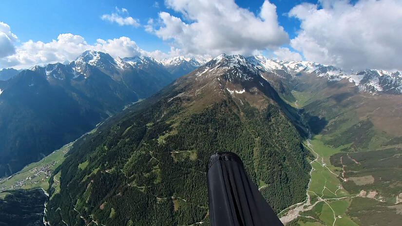
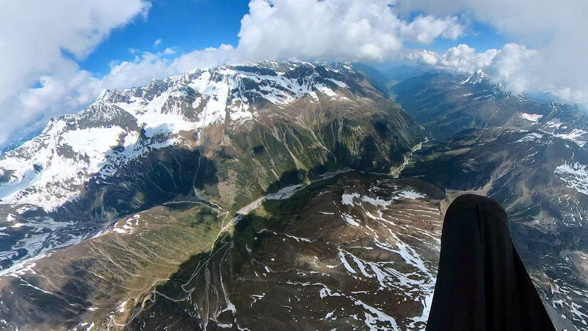
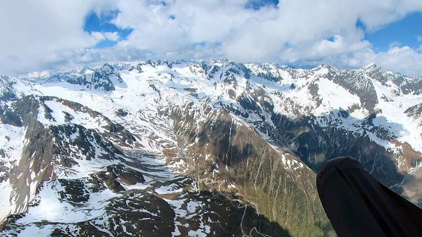
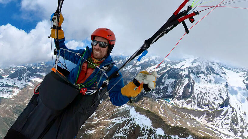
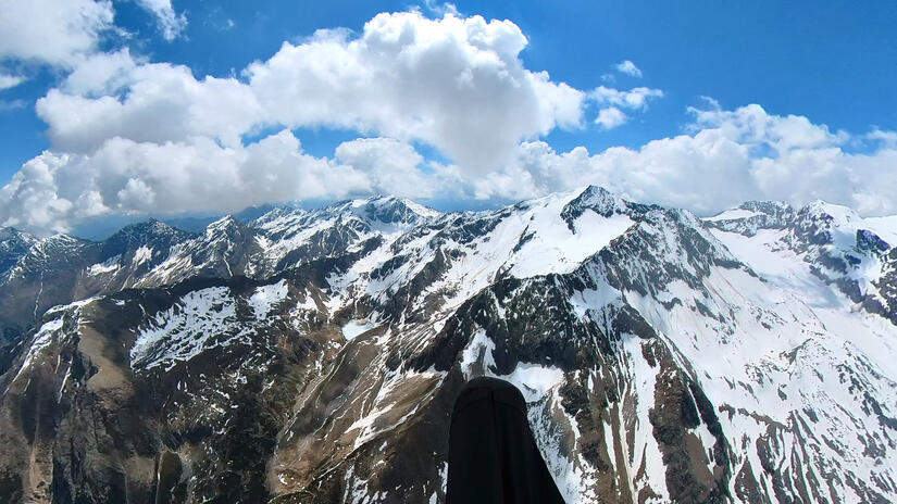
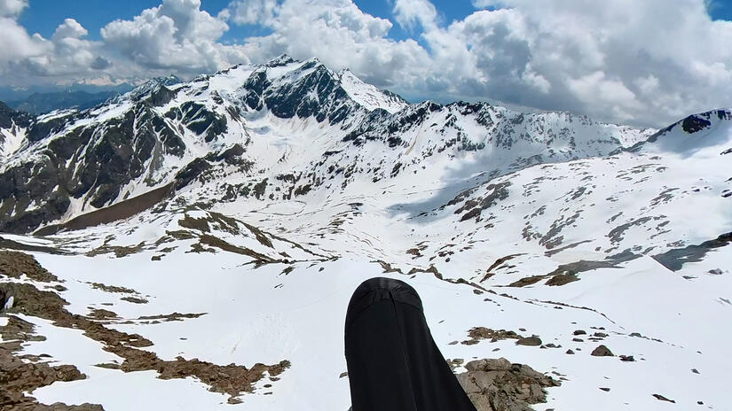
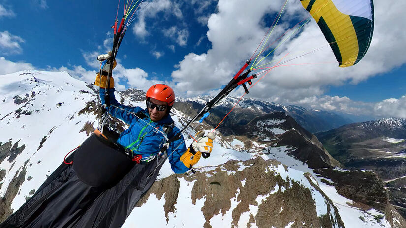
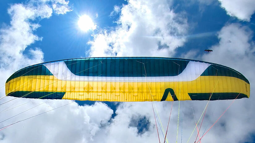
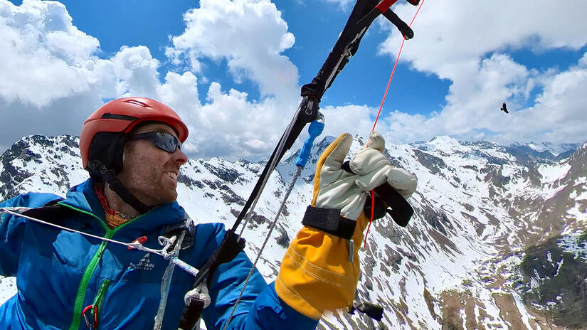
Unfortunately at this point I wasn‘t able to get much height above either the col or the summit, and I knew I wasn’t going to make it over the next ridge, but without being able to climb higher I committed to the glide, hoping I would find lift on the sunny but snow covered north facing slopes. At first I found nothing and started to feel concerned, but went with the flow and flew down the valley, hoping that as I lost height I would find a climb. Thankfully I soon did, but I was struggling to get above the ridge, as this was the only climb I had had so far, and couldn’t see another obvious thermal trigger down the valley due to a combination of cloud and snow, I stayed with it, hoping a better thermal cycle would come. While I was waiting a Golden Eagle joined me in the thermal which was very special, it was really close to me at first, but I don‘t have any footage as I was a) enjoying the experience, and b) didn‘t want to lose the thermal as I was still feeling vulnerable due to being low.
Soon a better thermal cycle came which took me up to the summit of the second ridge, however unfortunately I still couldn’t get much above the ridge. At this point I decided to make the valley crossing, despite having no hope of making it over the next ridge as it was completely snow covered, north facing and shaded out. In hindsight I should have been a bit more patient to see if a better cycle came, but it is always easy to say that after the event!
Annoyingly as I initially flew over the valley I was losing almost no height, which resulted in my arriving at the ridge only 50m below the top. At this point I considered top landing, but I had no idea what the launch possibilities would be the other side, so decided just to fly down the valley and see what happened. Unsurprisingly I found no lift, but had enough height to almost get out of the valley and into the Brenner Pass.
It was a shame I didn‘t get over the third ridge, as it should have been easy flying after that along south facing slopes, but I was happy with my decision making along a committing flying route on my own. There was a weak to moderate föhn forecast for the next day, so I knew that being anywhere near the Brenner Pass was not a good idea, as anywhere there would be unflyable. Therefore I elected to take a train to Vals which took me in the direction I would have flown in and outside the rejoin which I didn’t think would be flyable the next day.
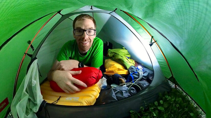
The photo below shows me in my cozy 1 man tent, paragliders take up a surprising amount of room in a 1 man tent!
Day 2 – Wals to Olang-Antholz
I had initially planned to take the lift directly out of Wals and fly from the summit above the lift, however during the evening I changed my plan to head one valley further east to fly from Gitsch, as I thought that my initial plan may have been washed over by the Föhn due to a turn in the Brenner Pass. As it turned out, this was a good plan as looking back west from my launch I could clearly see that a) the summit was in more cloud than mine, and b) the clouds were clearly being blown east.
I took off much later than planned, due to the take off being enclosed in cloud for a long period of time, again in hindsight, perhaps I should have waited longer as the cloudbase hadn‘t really lifted enough, but again I wanted to start early as there were storms forecast later in the afternoon.
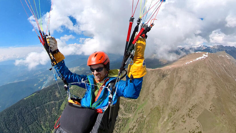
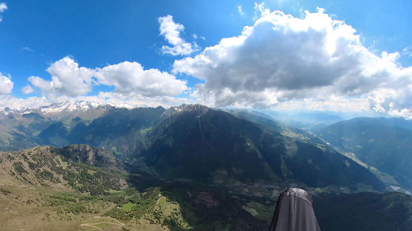
The first half of my flight didn‘t go at all well, I was struggling with lots of shaded out areas, very narrow/punchy thermals which were impossible to use and always being very low. I suspect the conditions were due to the impact of the Nordföhn, but cannot be sure.
With spur after spur failing to give me a good climb, I had basically come to the conclusion that I was going to land out, and had actually started looking for a good place to land which was close to a bus stop or train station. However I made a very low save with a thermal out of the valley which took me all the way up to over 3000m.
The views of the main ridge were fantastic and something to behold, but up high the lapse rate was good and the thermals were strong, which would have been ok, but I had also climbed up into the föhn wind which was strong and gusty and made me feel very uncomfortable, so I decided that this was a sensible time to end the flight.
I made use of my height and flew past Bruneck and along to Olang where I soaked up the scenery. Looking east along the valley towards Sillian there were also a large number of threatening looking clouds, so even without the Föhn wind I am not sure I would have flown for much longer anyway!
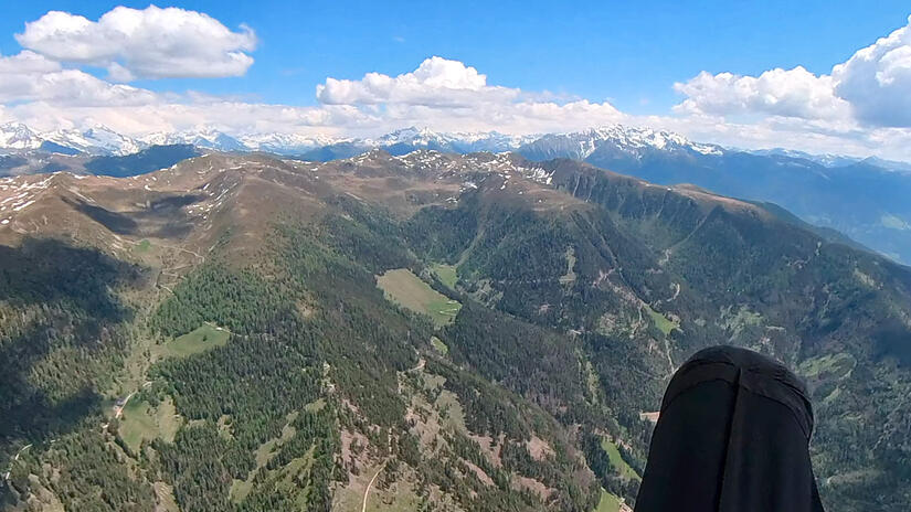
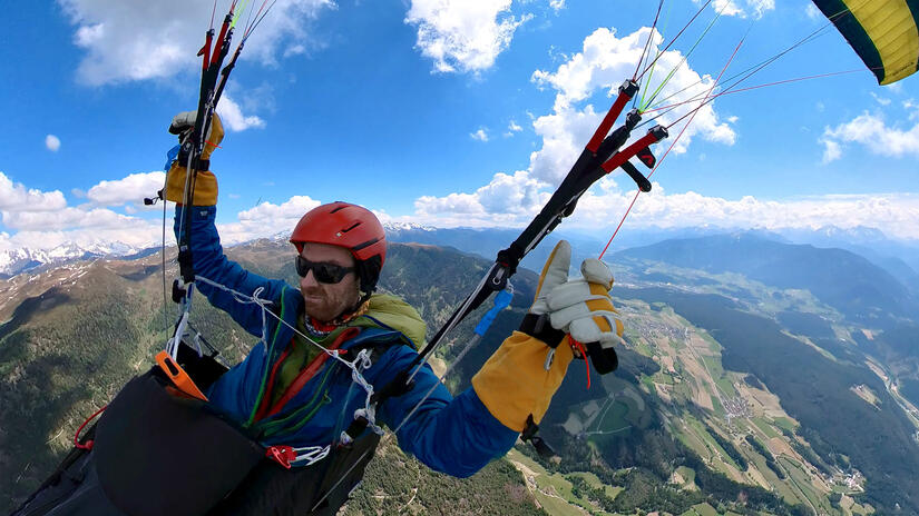
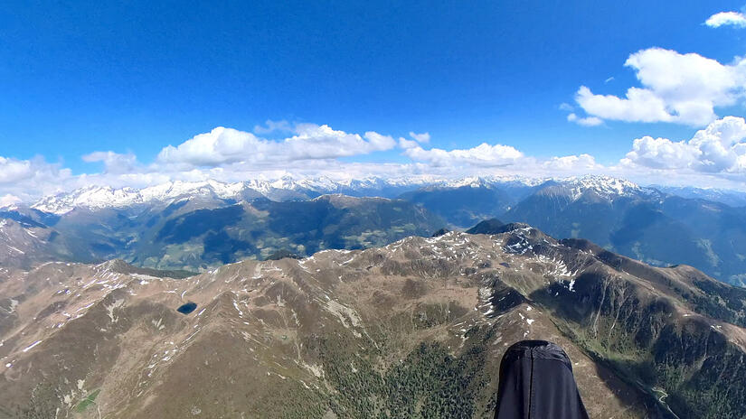
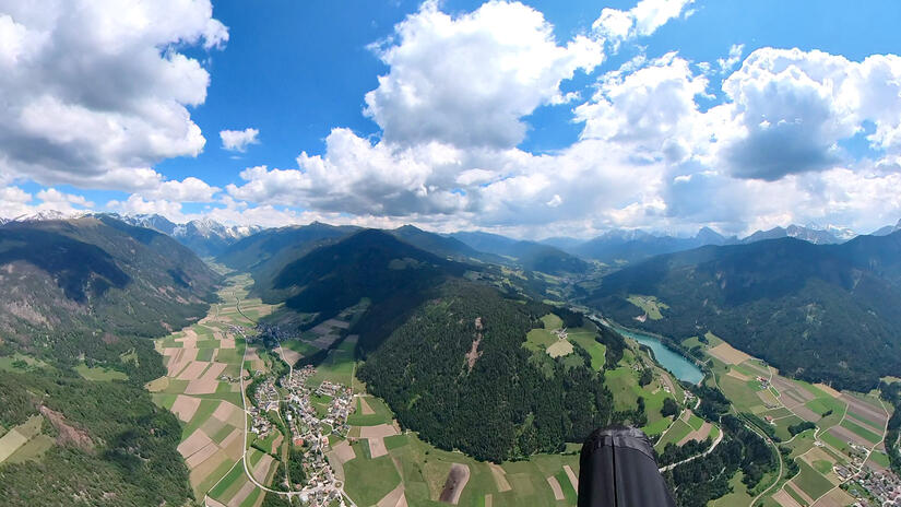
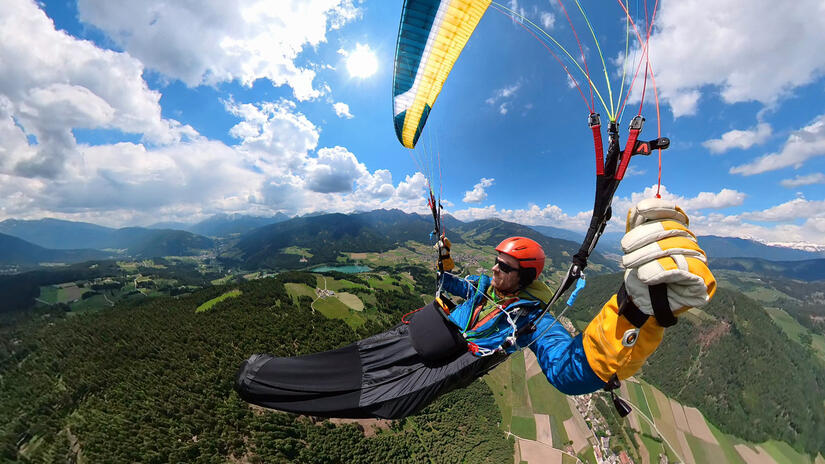
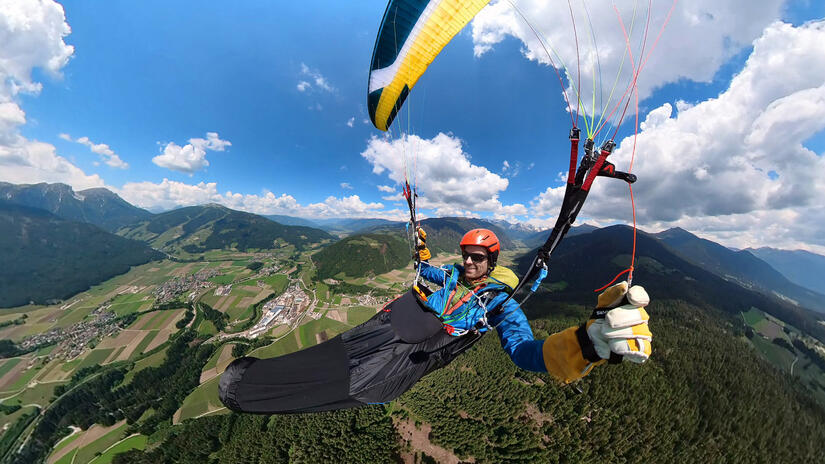
After landing and packing up, I decide that I would end the trip here, as the forecast for the next day was really bad and I could easily get back home on that evening.
After a very short walk to the station, I only had 10minutes to wait for my train, which easily took me back to Munich for a total sum of 11 euros (trains in Südtirol were free due to camping there the night before, and German trains were covered by the 49 Euro ticket which I use for commuting).
Despite not making it as far as I would have hoped, and the trip being a day shorter than planned I had a wonderful time. I was very happy with both the experience and with my decision making, although there is always room for improvement, and other than my first aid kit, camera and GoPro, I used everything I took with me, so it seemed that I got my packing vaguely correct.
I really enjoyed the travelling with just a paraglider and a tent, with no constraints to get back to a car, or get back home after a day of flying, and with no idea where I would finally land/sleep. I am now looking forward to my next VolBiv, but I do not know when that will be!
The final route I flew is shown below:
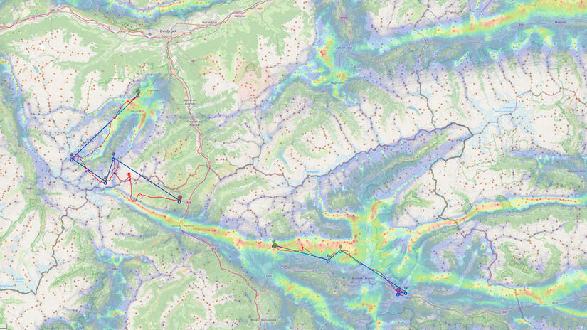
Day 1 Route: https://www.xcontest.org/world/en/flights/detail:alastairb/9.6.2023/08:12
Day 2 Route: https://www.xcontest.org/world/en/flights/detail:alastairb/10.6.2023/08:46
Comments